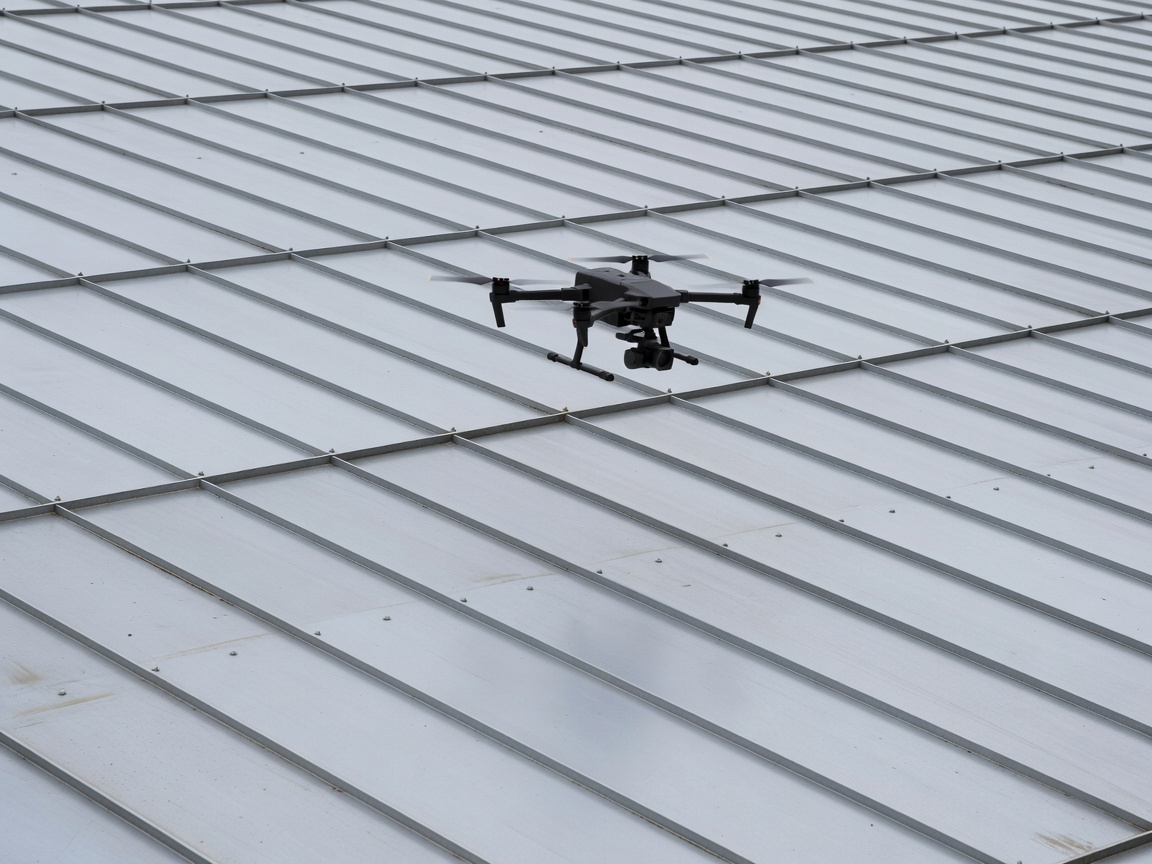
The Operational Shift: Replacing Fall Risks with High-Altitude Sensor Arrays
When we evaluate traditional industrial roof inspections, the dominant operational friction has always been human access. Sending an inspection surveyor onto a weathered 30-year-old fibre cement roof or an aging profiled steel deck involves tremendous risk. Fragile factory rooflights can degrade under ultraviolet exposure until they become virtually invisible hazards. Erecting perimeter edge protection, static fall-arrest lines, scaffolding towers, or cherry pickers across an operational factory yard introduces significant logistical expense, health and safety liability, and site disruption.
By deploying industrial-grade multi-rotor drones equipped with mechanical global-shutter camera payloads and Real-Time Kinematic (RTK) positioning modules, we completely bypass these access barriers. Our pilots operate from secure ground locations, maintaining visual line of sight while the aircraft systematically maps the roof envelope. Areas that were previously deemed inaccessible—such as steep valleys behind parapet walls, narrow clearances beneath cantilevered PV panel arrays, and structural overhangs—are captured with uniform detail.
The Science of Ground Sampling Distance (GSD)
We judge the quality of a drone survey not by cinematic video, but by Ground Sampling Distance: the physical distance between two consecutive pixel centres measured on the ground surface. On typical high-altitude surveys, generic sensors might deliver 15–20 mm/pixel, which is adequate only for spotting massive missing panels. In our industrial inspection workflows, we fly tightly controlled altitudes that yield a GSD below 1.5 mm per pixel.
At this degree of optical resolution, microscopic defects become distinctly identifiable. We can isolate loose drill screws where EPDM neoprene sealing washers have degraded, distinguish hairline fractures in glass-reinforced plastic (GRP) rooflights, verify mechanical fold integrity along standing seams, and inspect individual pop-rivets on ridge capping flashings.
| Inspection Parameter | Manual Walking Inspection | High-Precision UAV Drone Survey |
|---|---|---|
| Access & Safety | Requires harness lines, edge protection, crawling boards, risk of fragile skylight failure. | Zero foot traffic on roof membrane; surveyed entirely from perimeter ground base. |
| Operational Downtime | Often requires halting loading bay doors, yard areas, or staging areas for MEWP access. | Zero interruption to yard logistics or internal manufacturing processes. |
| Coverage Uniformity | Subjective; restricted to walkable zones; blind spots behind mechanical plant and ducts. | 100% systematic ortho-gridded coverage with calibrated nadir and oblique angles. |
| Spatial Deliverables | Handwritten field notes, fragmented smartphone photos with indeterminate locations. | Georeferenced orthomosaic, high-density point clouds, and exact coordinate CAD overlays. |
| Repeatability | Difficult to reproduce identical inspection paths on annual re-inspections. | Digital flight paths saved and re-flown with centimetre repeatability year after year. |
Pre-Flight Risk Mitigation & Operational Constraints
While drone surveying provides unmatched efficiency, we recognise that UAV operations are bound by physics and strict aviation regulations. Before launching an aerial survey, our flight commanders review local airspace restrictions, industrial electromagnetic interference risks (common near high-voltage substations or heavy blast furnaces), and ambient meteorological windows.
High winds above 20 knots can introduce gimbal jitter and deplete battery reserves rapidly, while active rain precludes accurate visual diagnostics by creating false reflections and obscuring micro-cracking under water films. For this reason, we schedule surveys within stable atmospheric windows, calibrating our sensors to atmospheric humidity and solar radiation to produce raw data sets that can be rigorously processed into engineering-grade models.
Integrated Photogrammetric Deliverables
The culmination of our aerial surveying pipeline is not a random folder of unorganized JPEG files. We input hundreds or thousands of high-overlap, geotagged images into photogrammetry engines to construct three core deliverables:
- Seamless 2D Orthomosaics: Ultra-high-resolution, orthorectified image maps where perspective distortions from the lens are mathematically eliminated, enabling direct on-screen scale measurements of gutter lengths, ponding areas, and penetration perimeters.
- Digital Surface Models (DSM): Elevation-graded topographic maps of the roof surface that highlight fall slopes, deck sagging, and improper gradient runs toward drainage outlets.
- Oblique Defect Catalogs: 45-degree angle imagery that captures vertical upstands, parapet terminations, and clerestory flashing details that cannot be properly evaluated from straight nadir downward perspectives.
Armed with these rigorous spatial deliverables, estates directors and consulting structural engineers can make evidence-based decisions, eliminating guesswork from industrial roofing upkeep.